

Grand Canyon Aerial View of Lower Granite Gorge
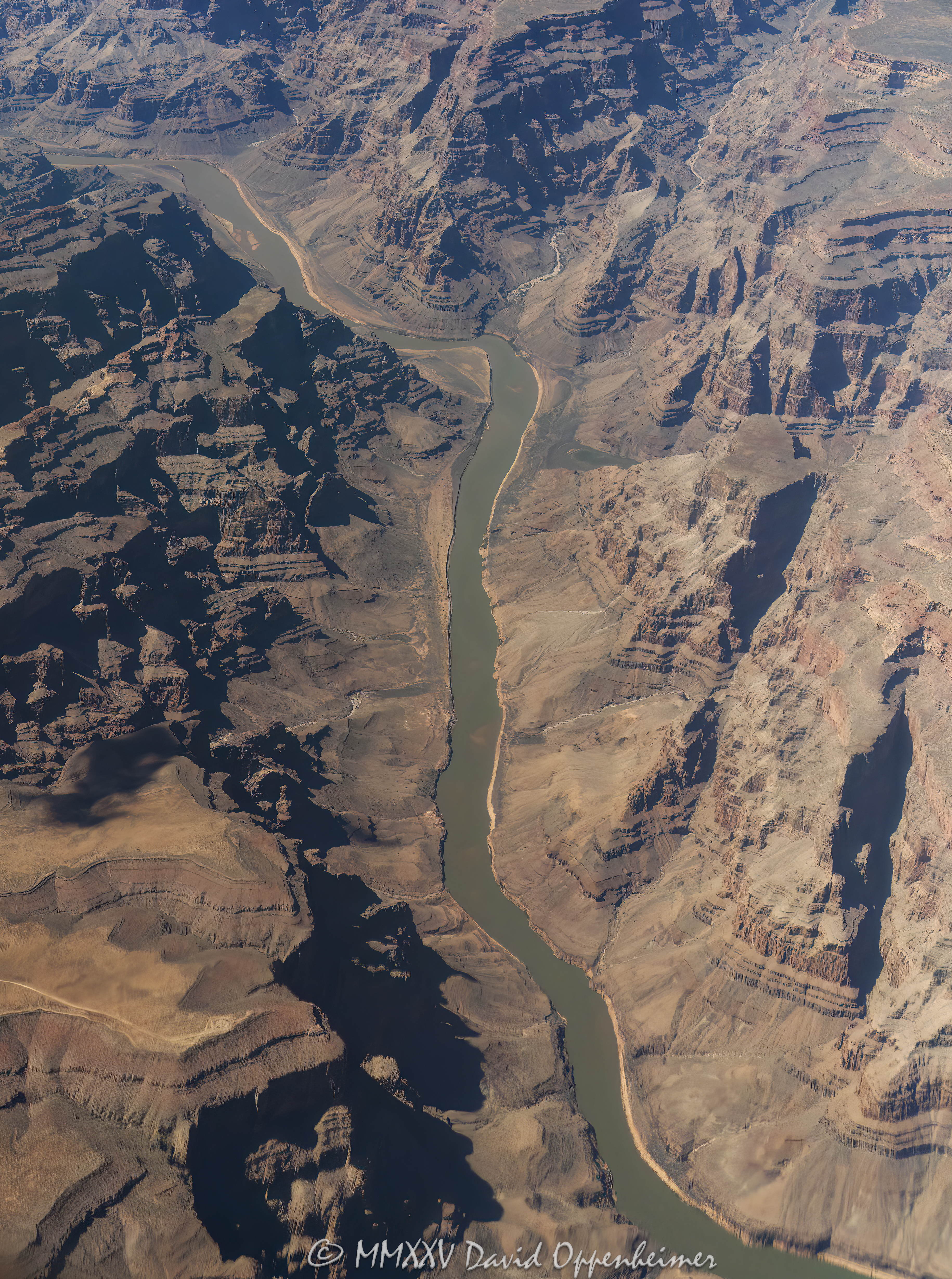
Photo Details
- Camera
- NIKON D6
- Aperture
- ƒ/5.6
- Shutter Speed
- 1/8000 s
- ISO
- 500
- Focal Length
- 75mm
Grand Canyon aerial view of Lower Granite Gorge with Salt Creek flowing into the Colorado River at Devils Slide Rapids section along the boundary of the Hualapai Indian Reservation in Mohave County, Arizona – © 2025 David Oppenheimer – Performance Impressions aerial photography archives – https://performanceimpressions.com
© 2025 David Oppenheimer - All Rights Reserved - Cannot be used to train Artificial Intelligence (AI)