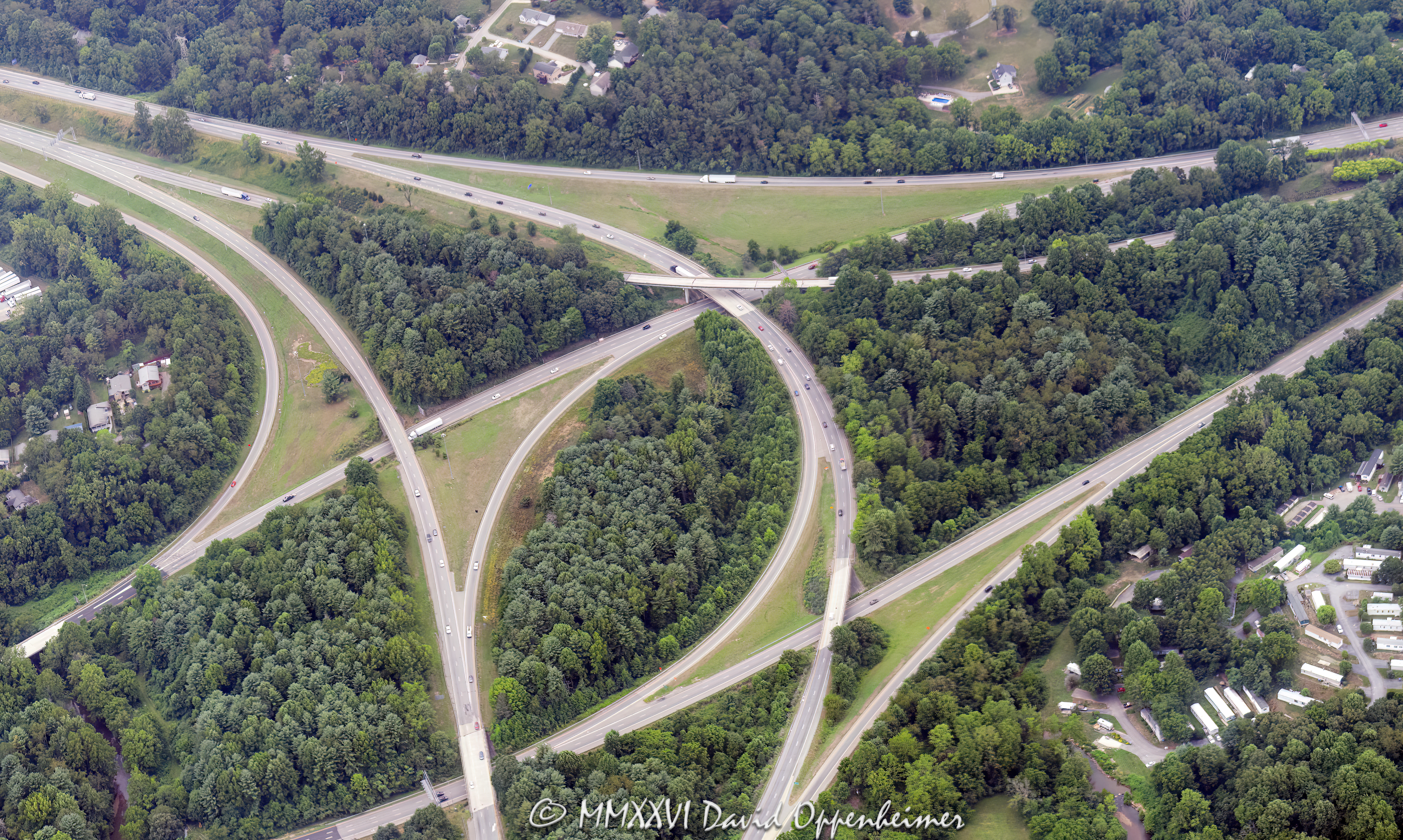
Aerial view of the Interstate 26 and Interstate 40 interchange in Asheville, North Carolina, including I-26, I-40, and I-240 highway infrastructure, ramps, traffic patterns, and road network in Buncombe County, before major reconstruction associated with the Asheville I-26 Connector project – © 2026 David Oppenheimer – Performance Impressions aerial photography archives https://performanceimpressions.com
© 2026 David Oppenheimer - All Rights Reserved - Cannot be used to train Artificial Intelligence (AI)